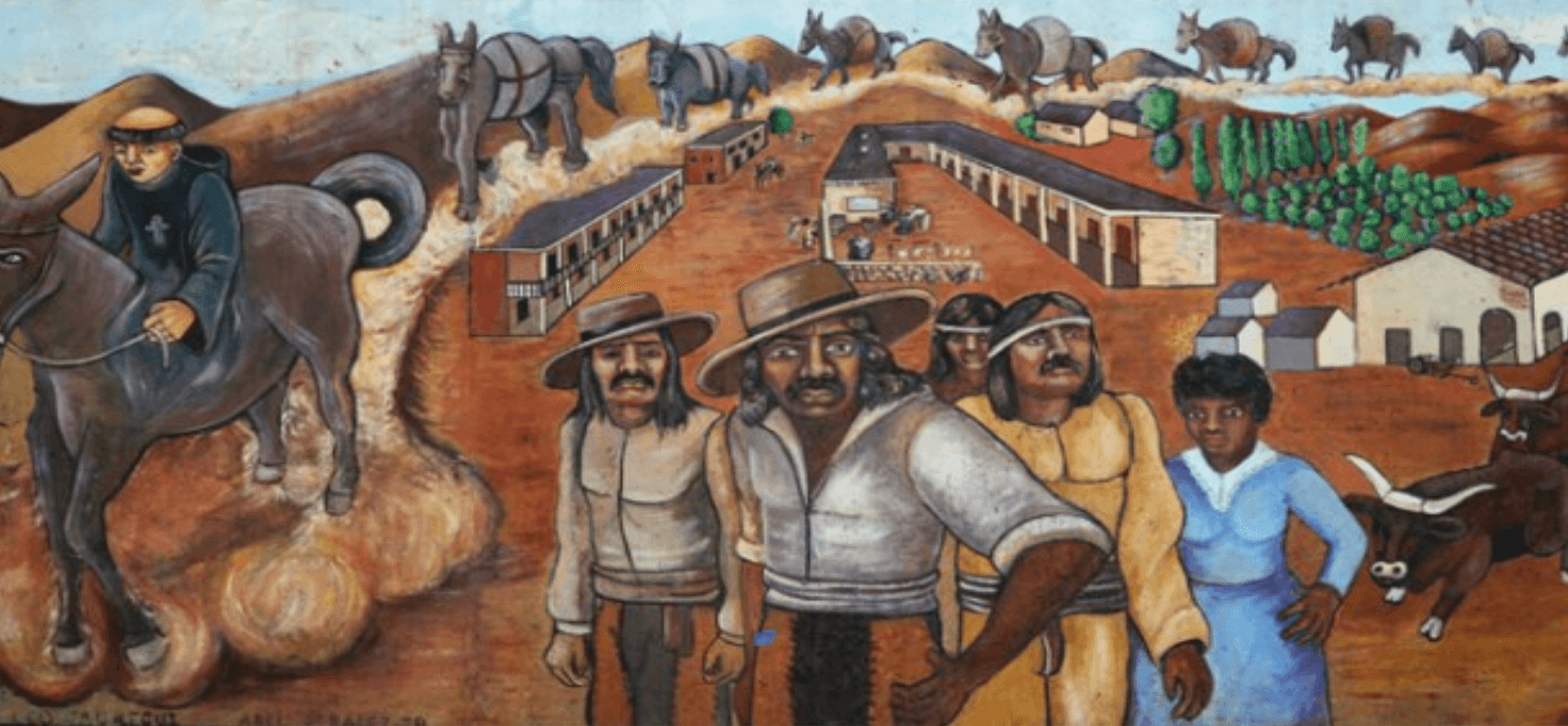
The Great Wall of California mural, conceived by Judy Baca, showing the 1781 founding of Los Angeles primarily by people of mixed Spanish, African, and Native American descent. Courtesy www.sparcinla.org

Data Visualizations

Interactive tools to explore the history and connections of African Californios

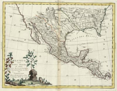
Historical map of California and Mexico, 1708, showing the region during the Spanish colonial period

Our interactive visualizations bring to life the complex history of Africans and Afro-descendants in early California. These tools allow you to explore family connections, geographic distributions, and demographic patterns that reveal the significant presence and contributions of African Californios from 1769 to 1850.

Using historical records, census data, and archival research, we've created these visualizations to help scholars, students, and the general public better understand this often overlooked aspect of California's history. Each visualization offers different insights and perspectives on the African Californio experience.

Screenshot of Interactive Family Trees

Interactive Family Trees

Explore the intricate connections between Californio families through our interactive genealogical database. Trace the lineages of prominent families and discover their interconnected histories spanning generations.

Features:

  • Interactive network visualization of family relationships
  • Search for specific individuals or families
  • Explore marriages, children, and extended family connections
  • View biographical information for each person
  • Discover the complex interrelationships between prominent Californio families
Explore Interactive Family Trees
Screenshot of Geographic Distribution Maps

Geographic Distribution Maps

Visualize the geographic distribution and movement of African descendants throughout early California. Our interactive maps reveal settlement patterns and land holdings from 1769 to 1850.

Features:

  • Interactive maps showing population distribution over time
  • Land grant visualizations showing property ownership
  • Migration patterns of Afro-descendant families
  • Regional demographic data from Spanish and Mexican censuses
  • Comparison views of different time periods
Explore Geographic Distribution Maps

Research Methodology

Learn more about how we collected, analyzed, and visualized historical data to create these interactive tools.

Read about our methodology